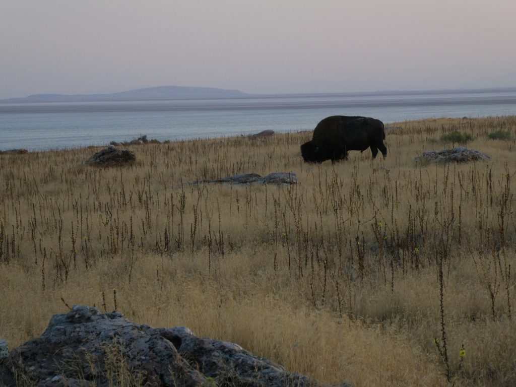
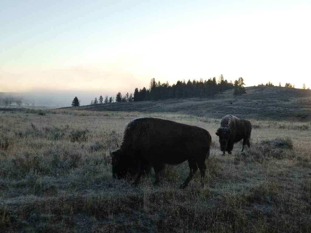
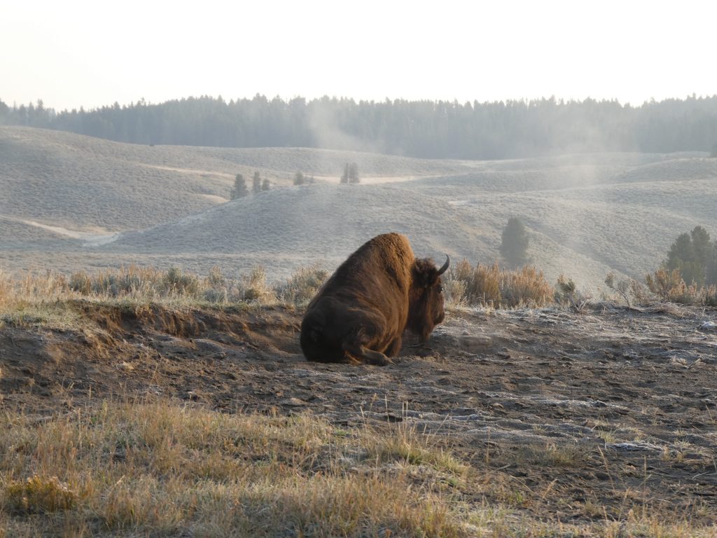
Bison. One of the big draws to Yellowstone. The first and oldest national park is well known for its bison herds. Most other ungulates (elk, antelope, moose) migrate out of this ice cold wilderness as the temperature dips below unreasonably cold, whereas the hardy bison have the utmost respect. With icicles hanging off their furry beards, they wage their stubborn war with the elements, using the thermal features of the park in the same way we huddle around a log fire. But for now, during our visit, they’re making the most of the cool autumn temperatures and starting to get frisky before winter sets in.
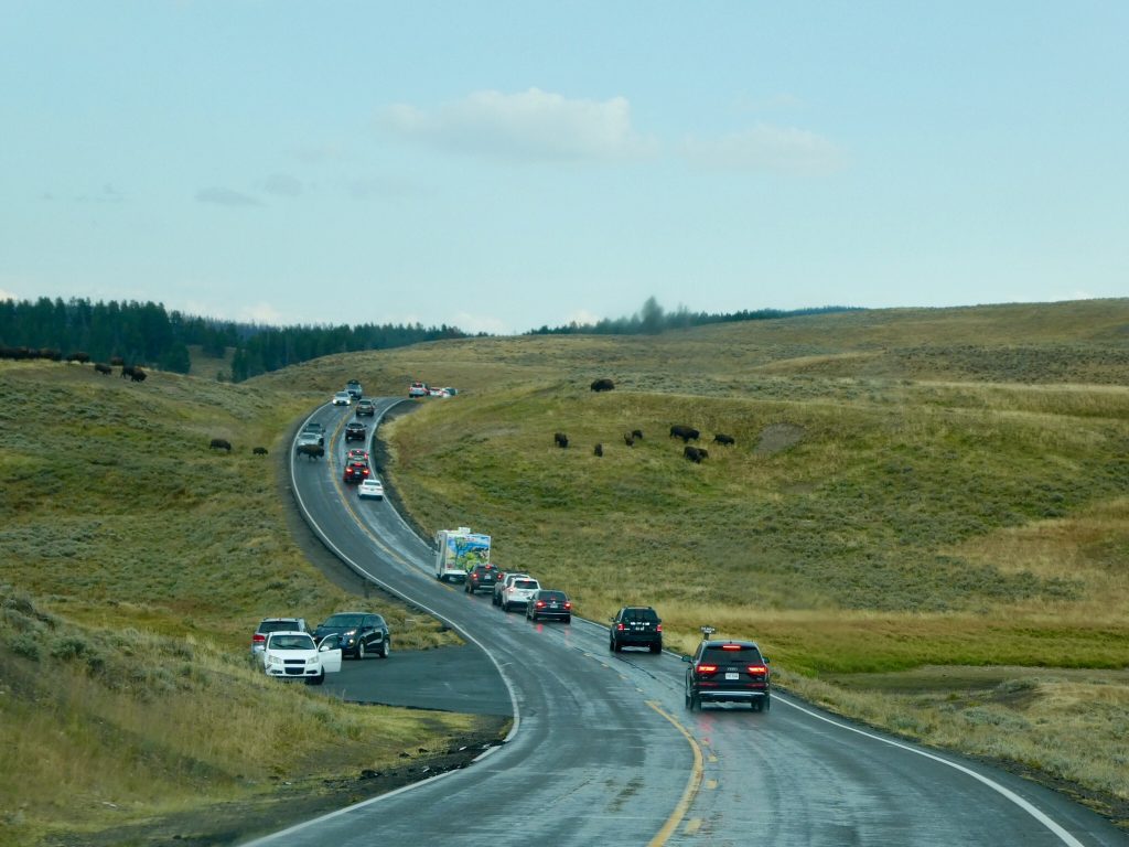
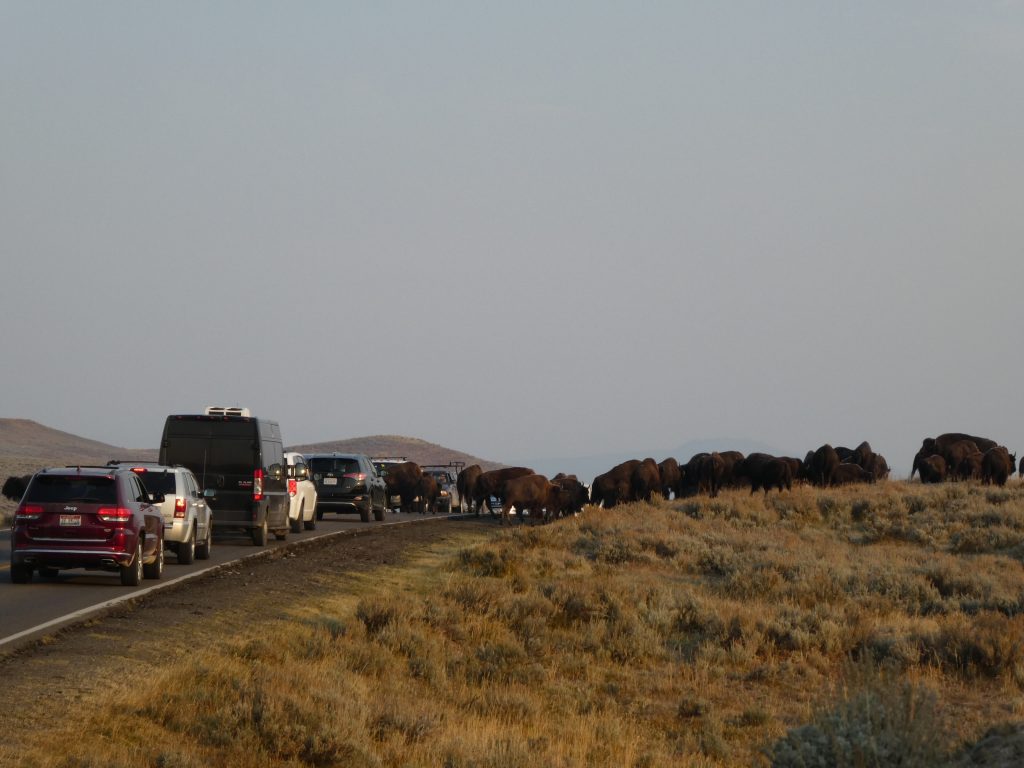
There are signs everywhere stating that bison are wild and dangerous, do not approach. But when they insist on crossing the road right in front of you, it’s kind of a good opportunity to get some photos nice and close, without getting too wild and dangerous. And they do like to hang around the roads. Which causes more than its fair share of traffic jams.
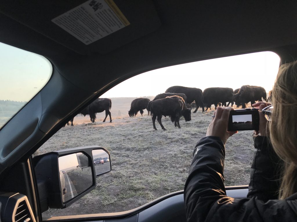
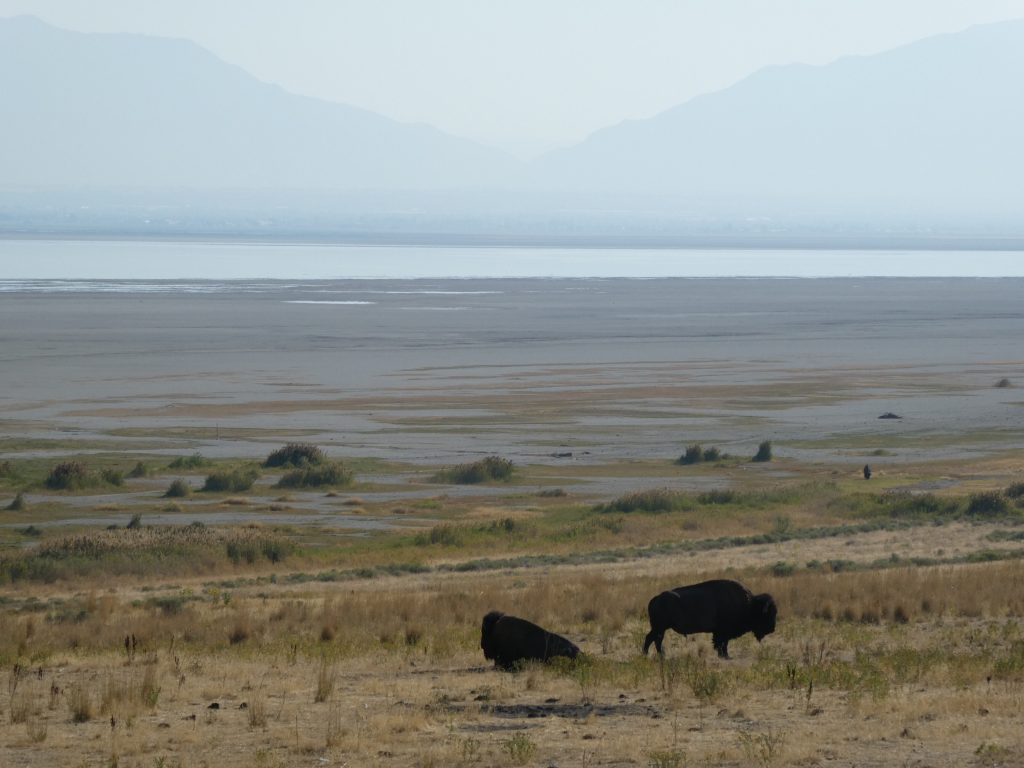
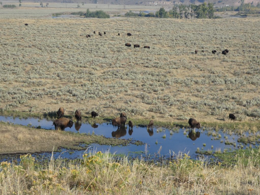
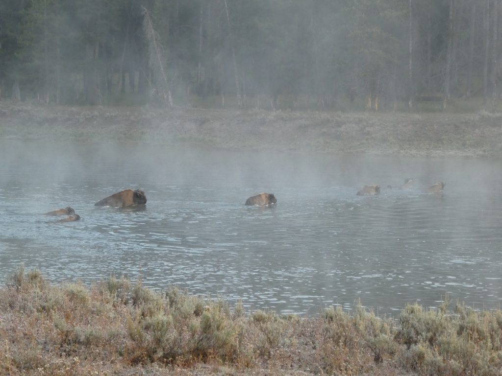
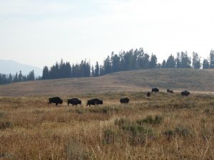
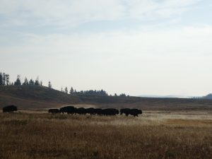
As with any animal sightings, the best bit is not ticking them off, but getting yourself ensconced in a spot where you can hang out and just watch. Rolling around having a dustbath, mock charging and initiating minor confrontations with each other, leading and following – the herd is always on the move. Even if it means crossing the river.
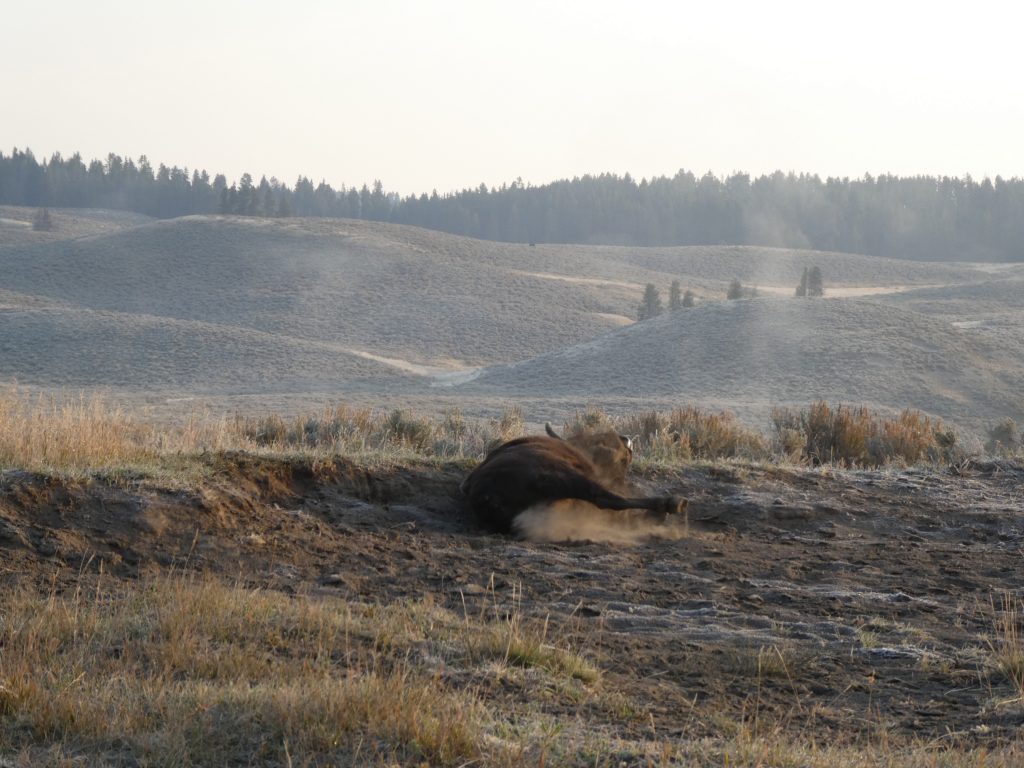
Ooh, now that feels better!

Heard the best grass is on the other side, follow me!

You up for a fight?
Who said that?
As for the sounds they make, believe me this is no herd of cows mooing. The bison grunt and they snort. They bellow and they roar. At times it sounds like snoring and farting but I think it’s just them doing their thing. They are anything but quiet. In fact, highly entertaining.
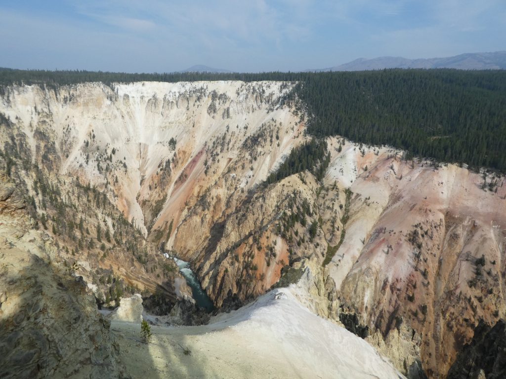
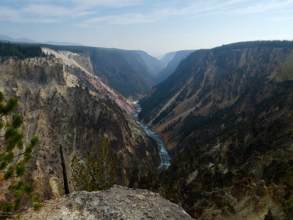
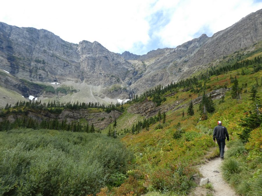
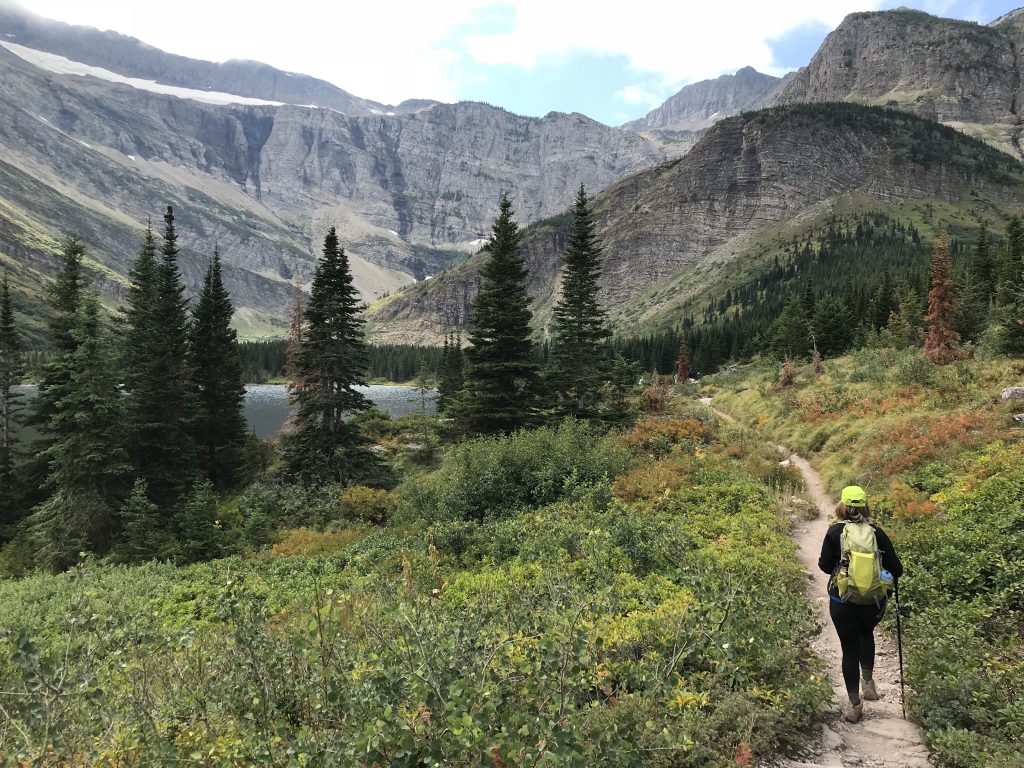
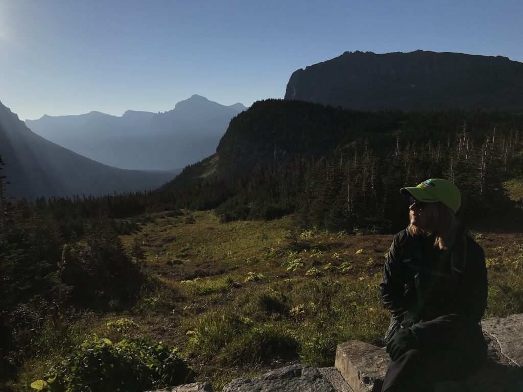
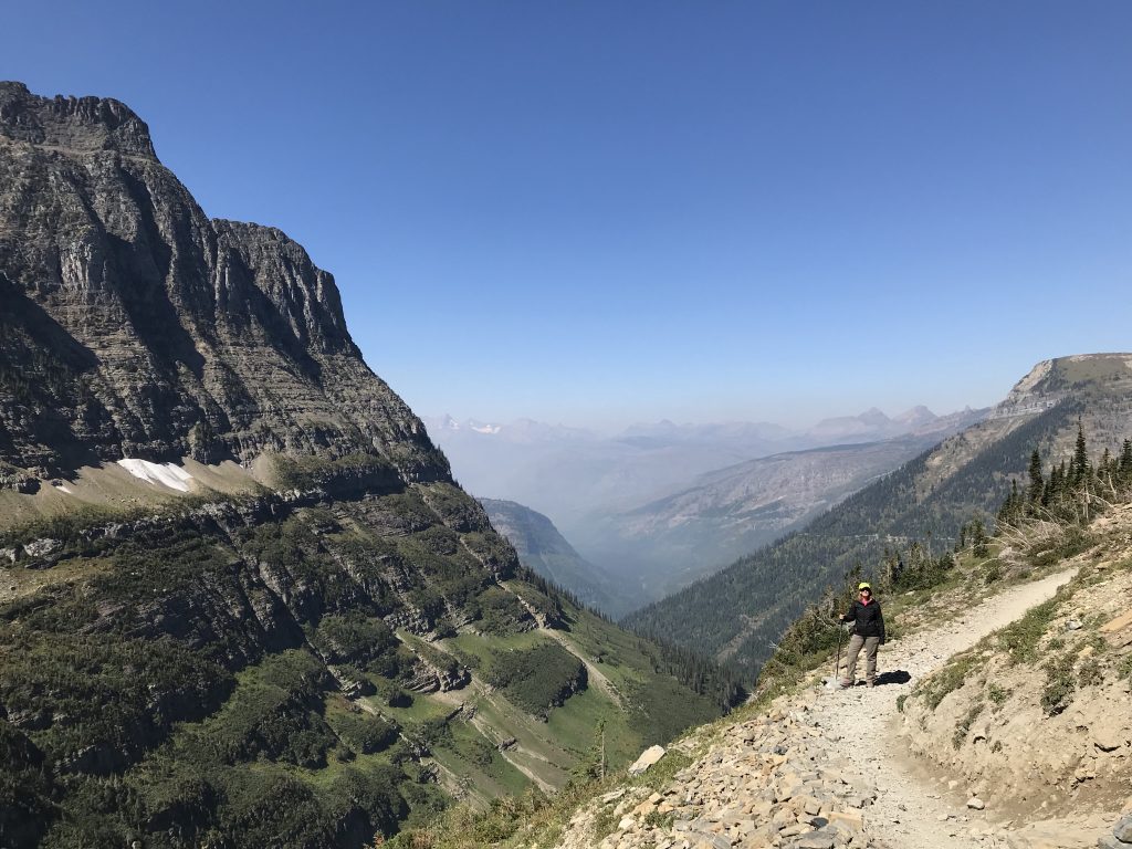
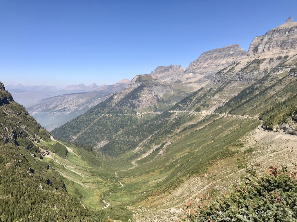
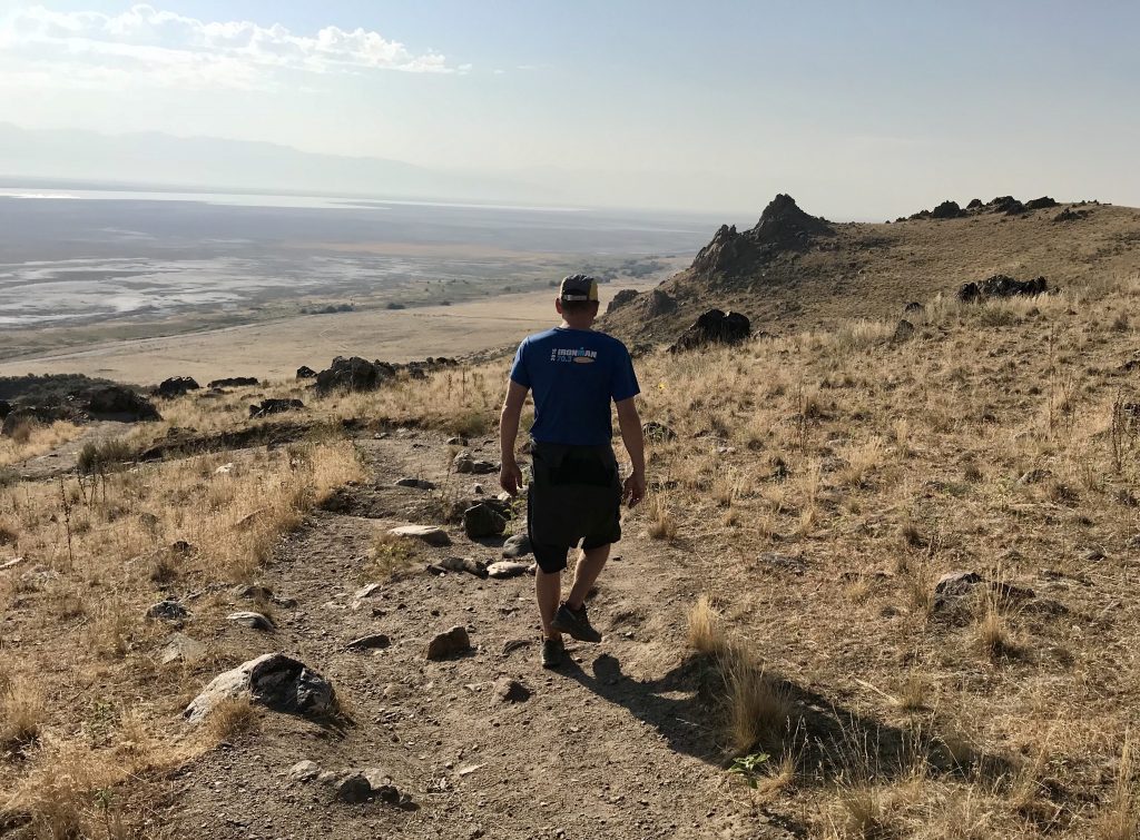
We’ve had more than our fair share of hiking trail closures on this trip. Trail closed due to bears. Trail closed due to roadworks closing the parking lot. Trail closed due to habitation regeneration. Trail closed due to fallen trees. I am not joking here. Yet we had found a trail that was open and recommended in the guidebook as great views of the Yellowstone Grand Canyon, and potential wildlife viewing opportunities.
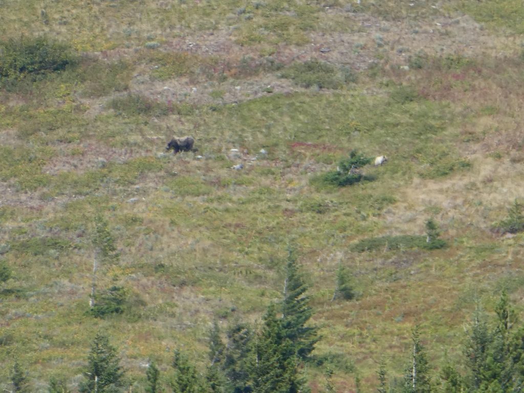
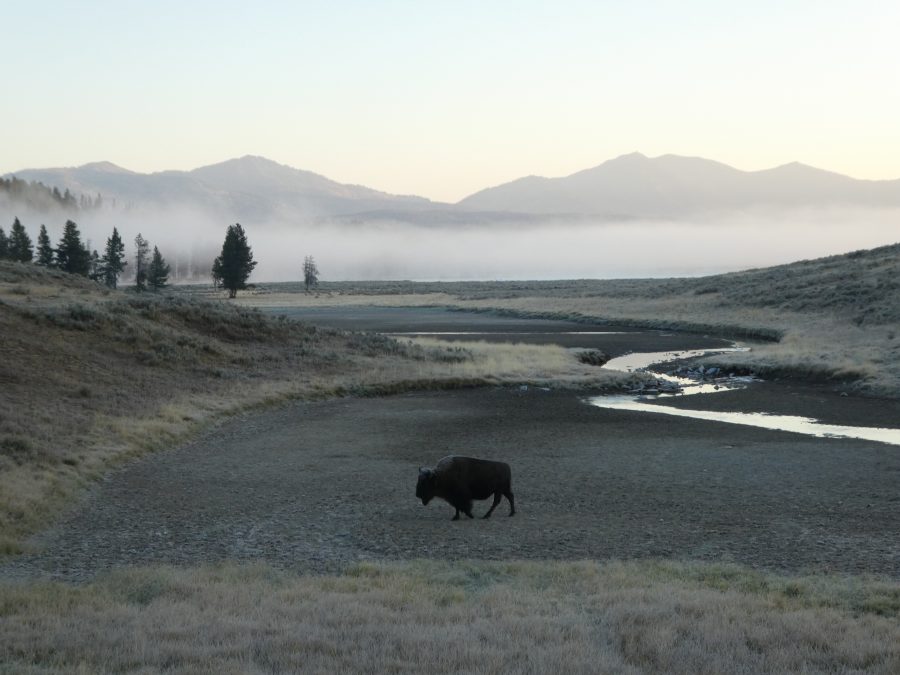
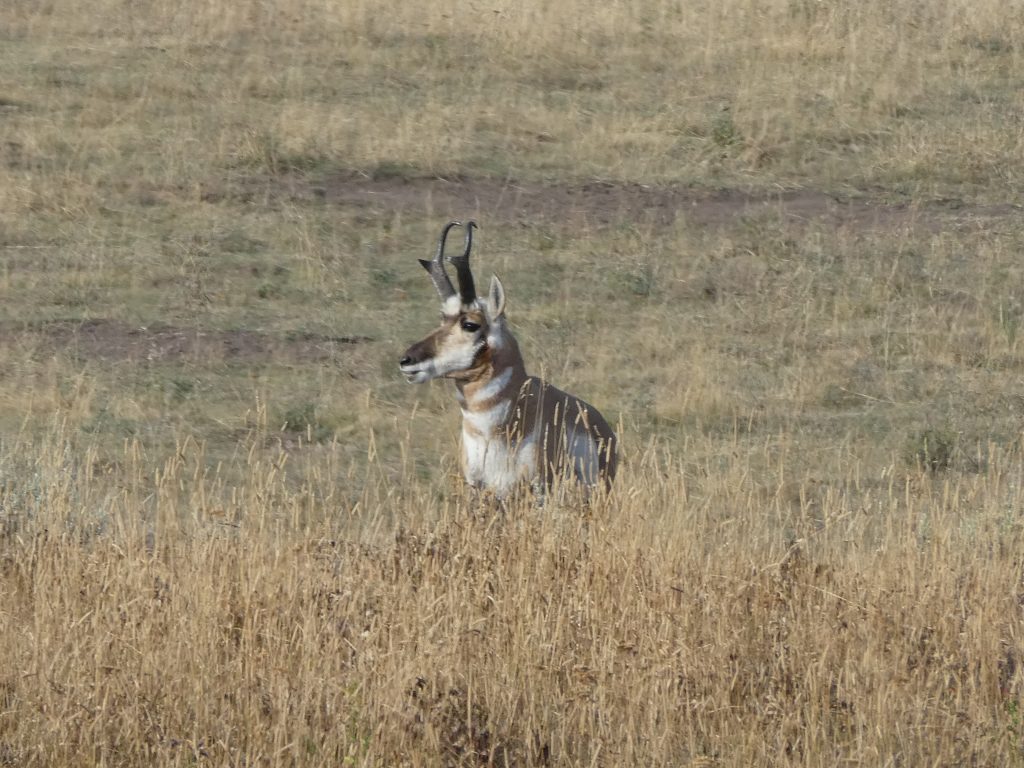
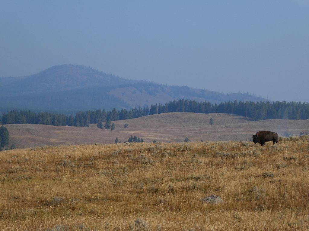
The wildlife opportunities started with a flock of migrating Canadian geese, vocal yet majestic. And then there was the lone bison.
Behind you!
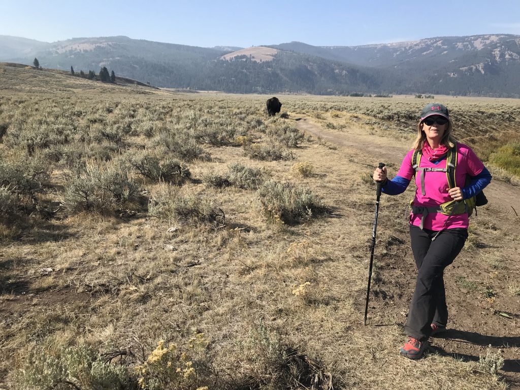
Although not as impressive in itself as a whole herd (which we’d previously seen from the car), it’s very different seeing animals when you’re out walking, just you and them and no car to protect you in between. Actually way better than seeing them from the car. Still, this singular bison didn’t seem too bothered, left us to our own devices, and we carried on our way.
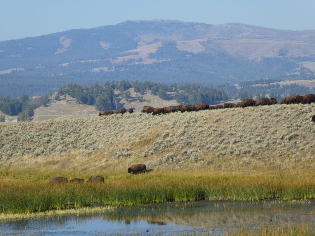
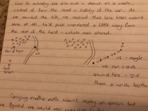
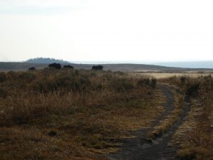
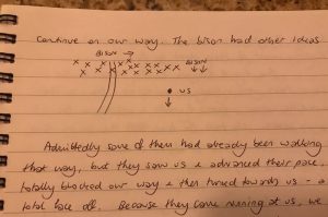
At which point we realized that the lone bison wasn’t by himself after all. He’d just wandered off from his herd. Cue the rest of the motherf*ckers. They stood to the left of our trail but a few of them were walking slowly towards it. Carrying on along the path wasn’t an option, but we figured we could safely veer way over to the right and still continue on our way. Nope. The bison had other ideas.
They waited til we were almost level before they made their move. More targeted than a game of chess, they advanced slowly but deliberately. Once they’d blocked our intended route, they turned to face us – a proper face off. The bison vs the Hamiltons.
Bison to the left. That’s the continuation of our path curving right past them up ahead.
And… we’ll just take a walk over here…
Bully tactics!
It was about this point, we realized we didn’t really know what to do if a herd of bison charge at you… run away? Doesn’t seem too smart, you’re probably not going to outrun them. Drop to the ground and play dead? Nope, you would get trampled for sure. Climb a tree? Excellent option, although there were no trees around. Hmmm, if all else fails, retreat it is then. And so we backed off politely and left them to it.
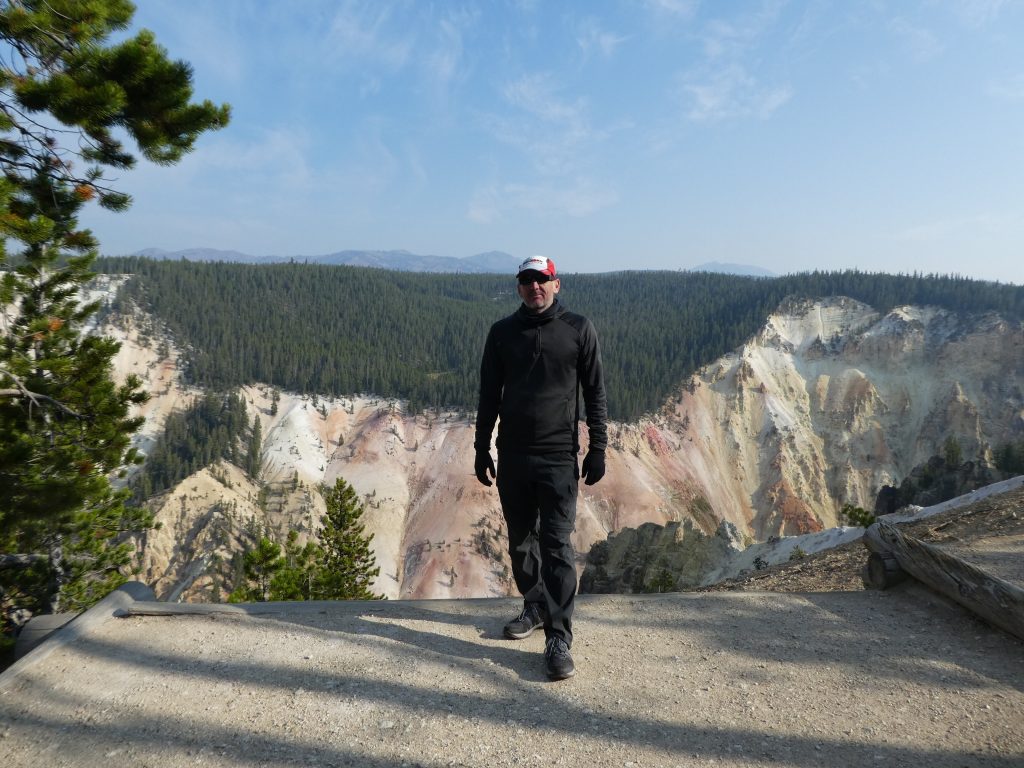
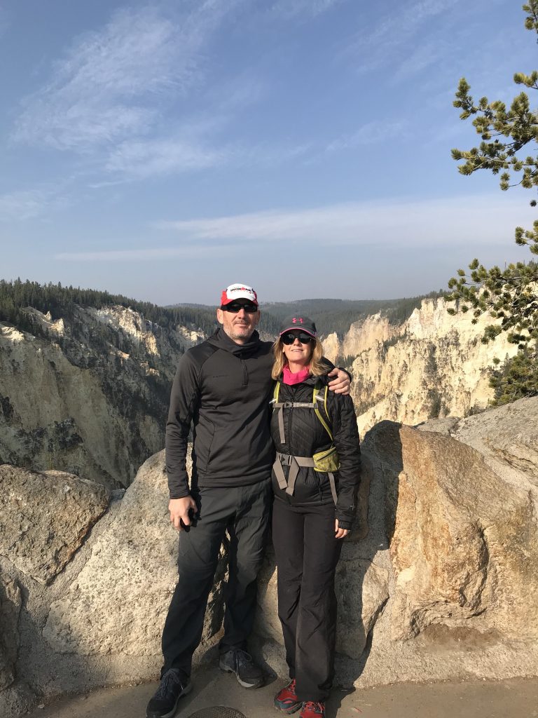
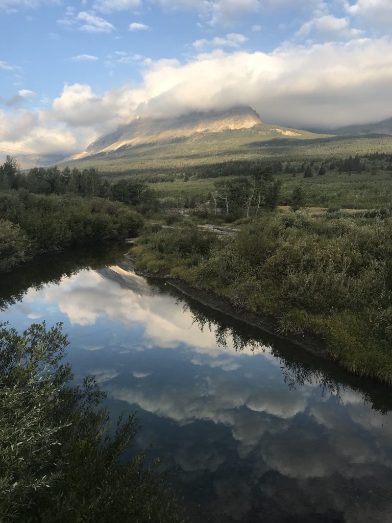
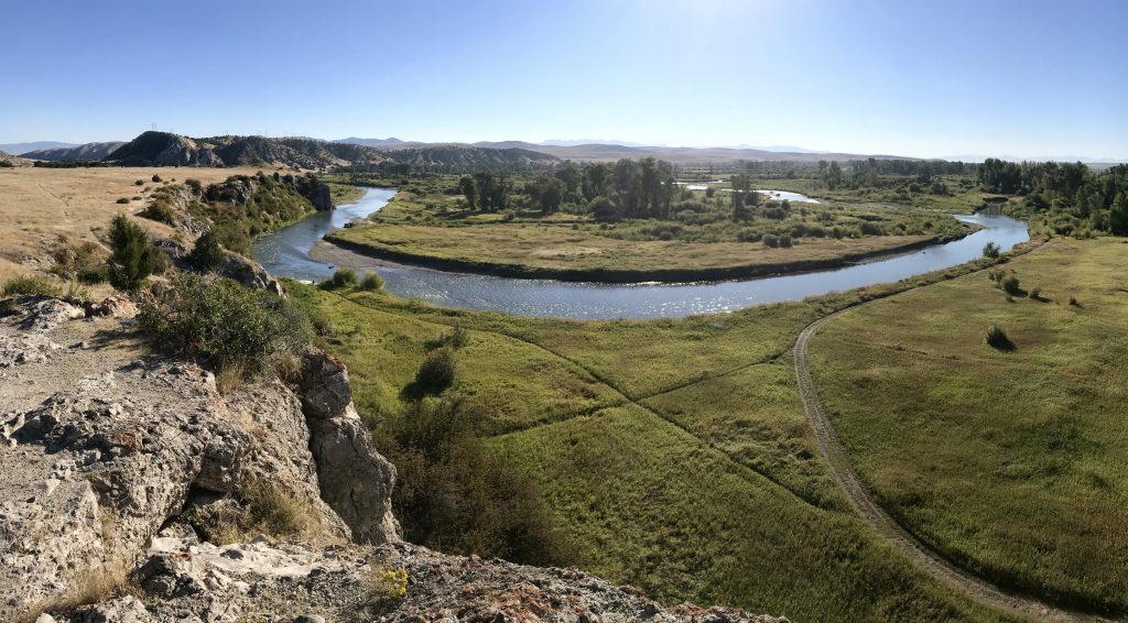
So now we have Trail Closed due to Bison to add to our list. Undeterred, we drove to a different trailhead and still got our hike in, with cool views of the Yellowstone Grand Canyon.