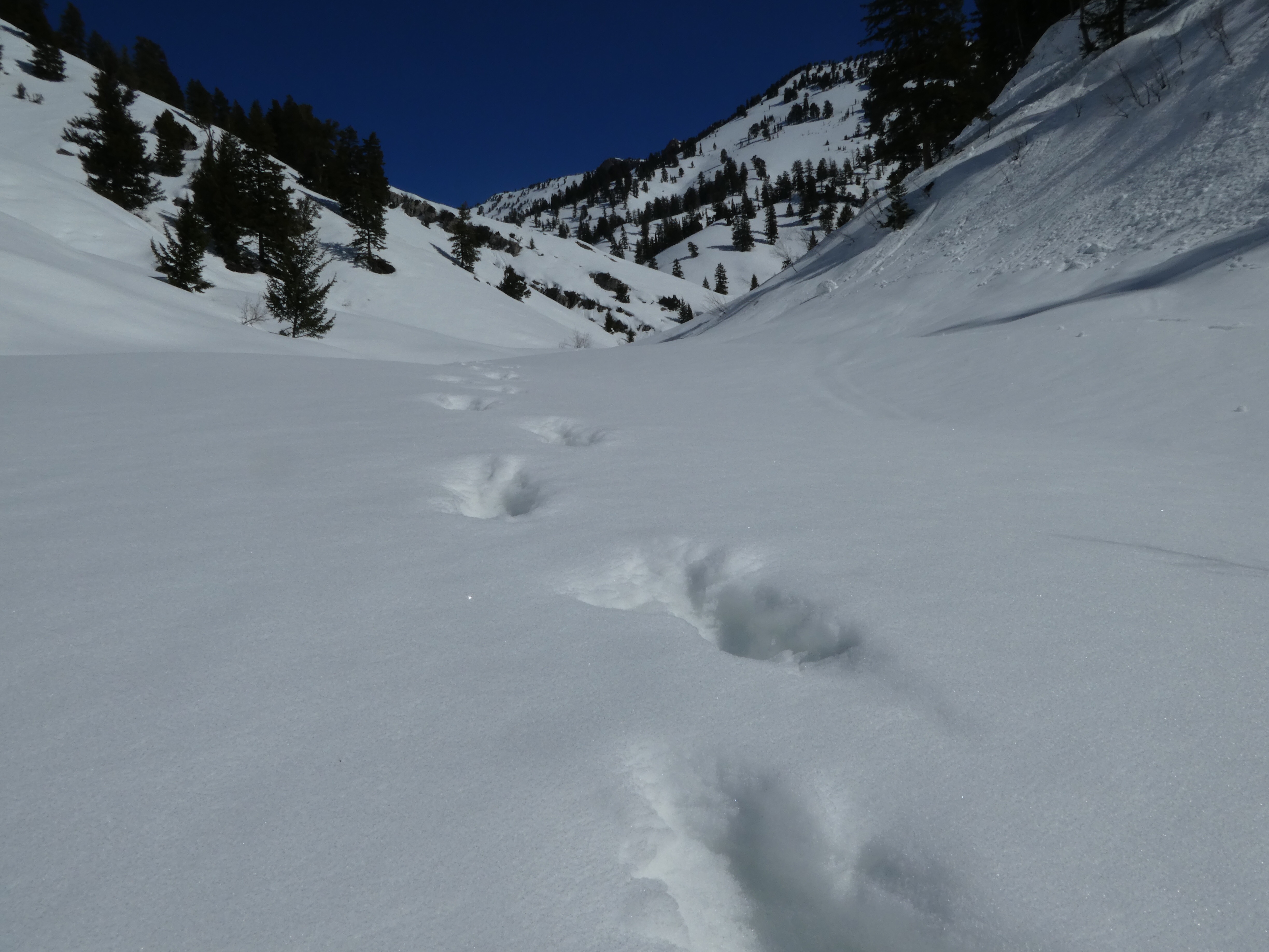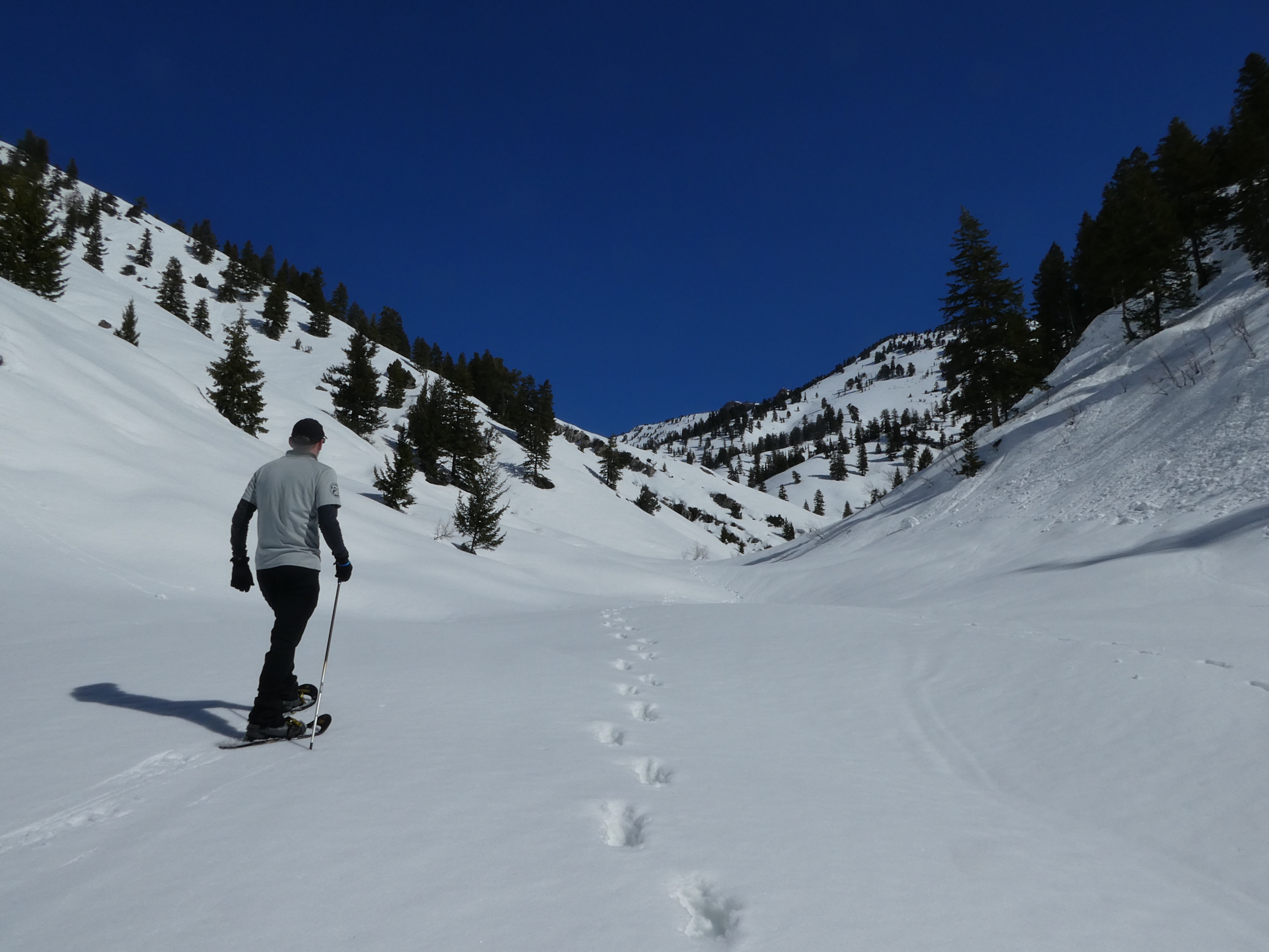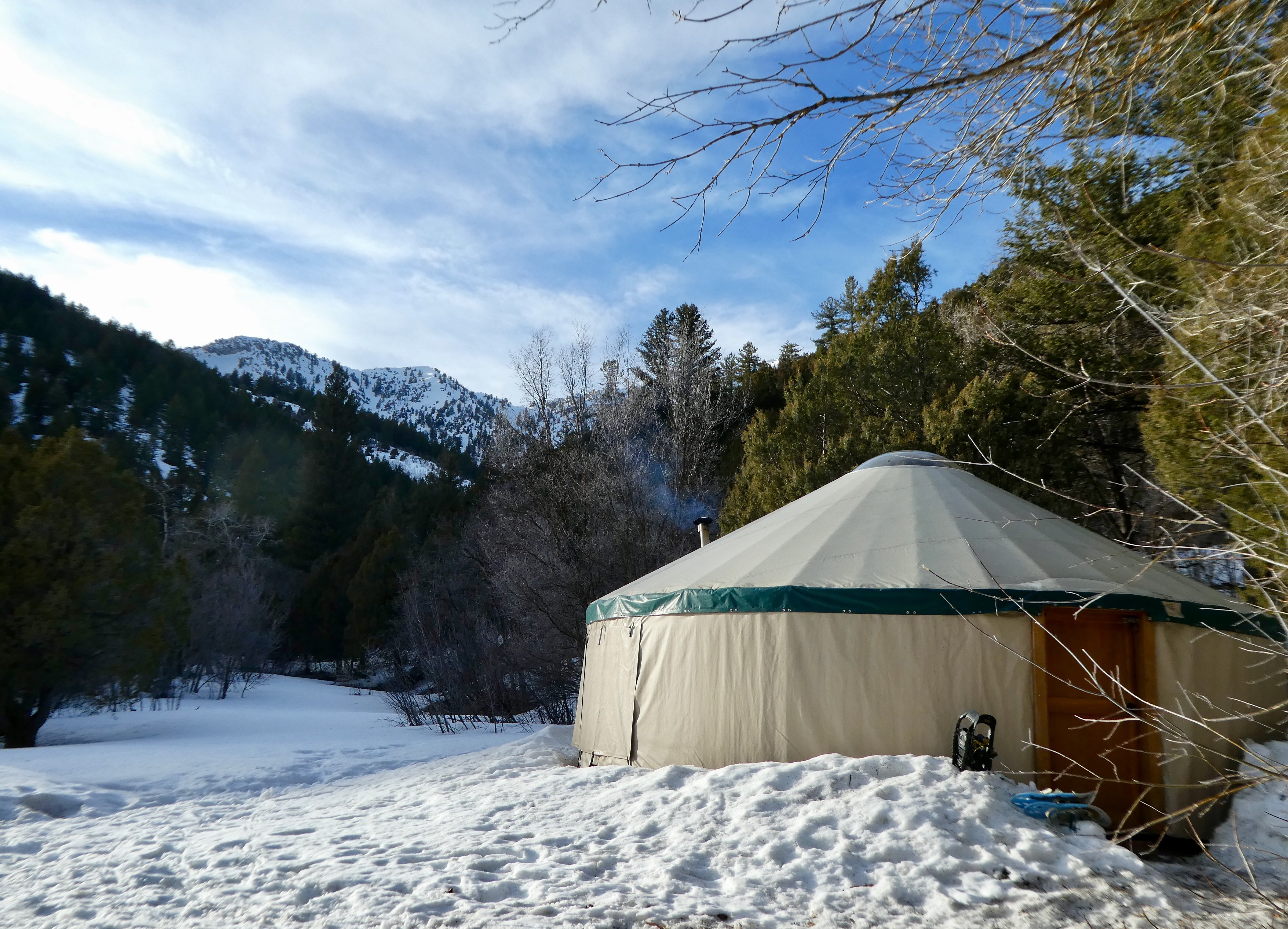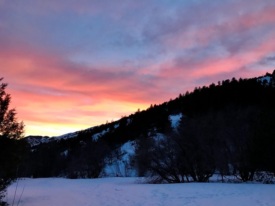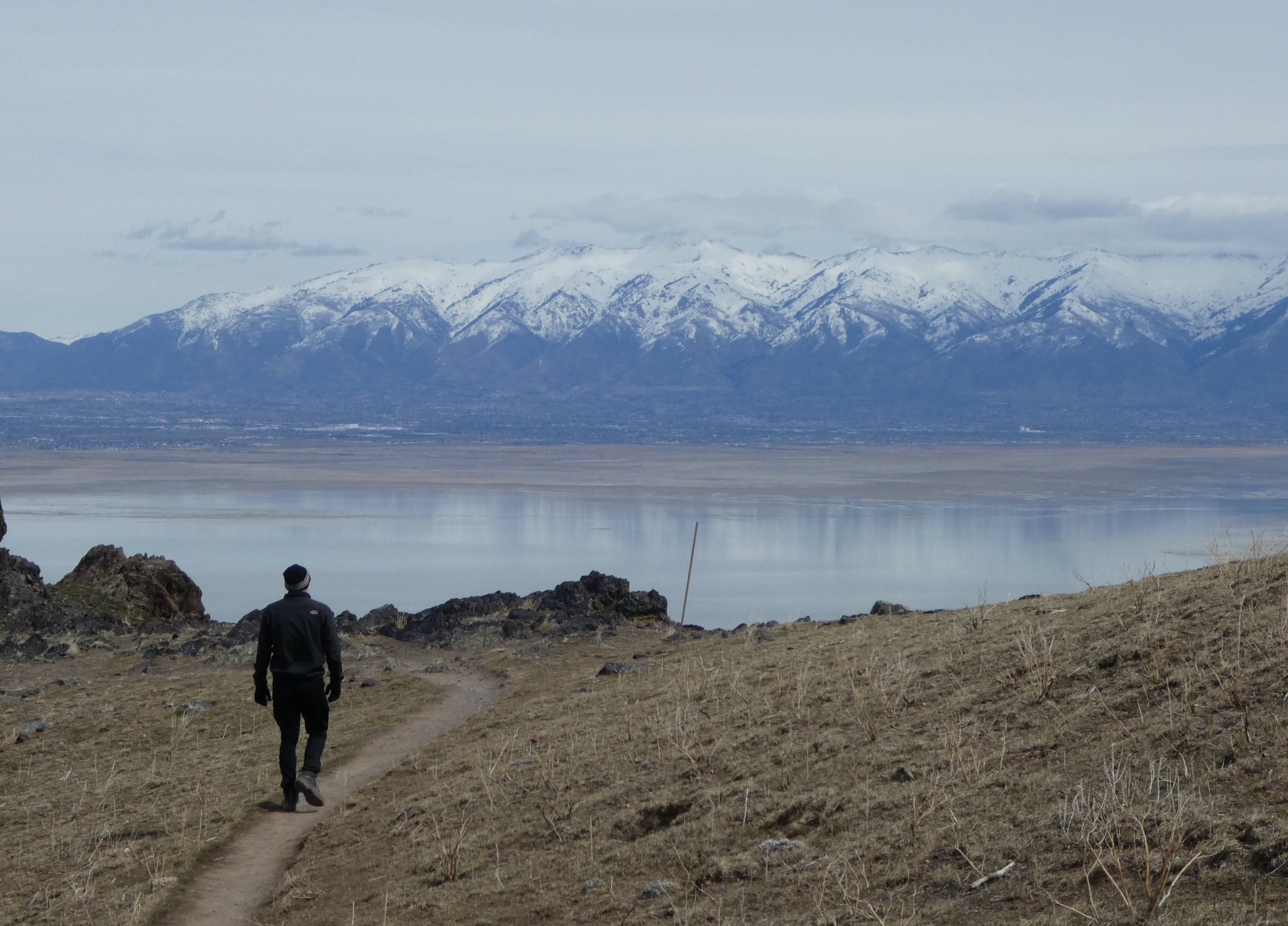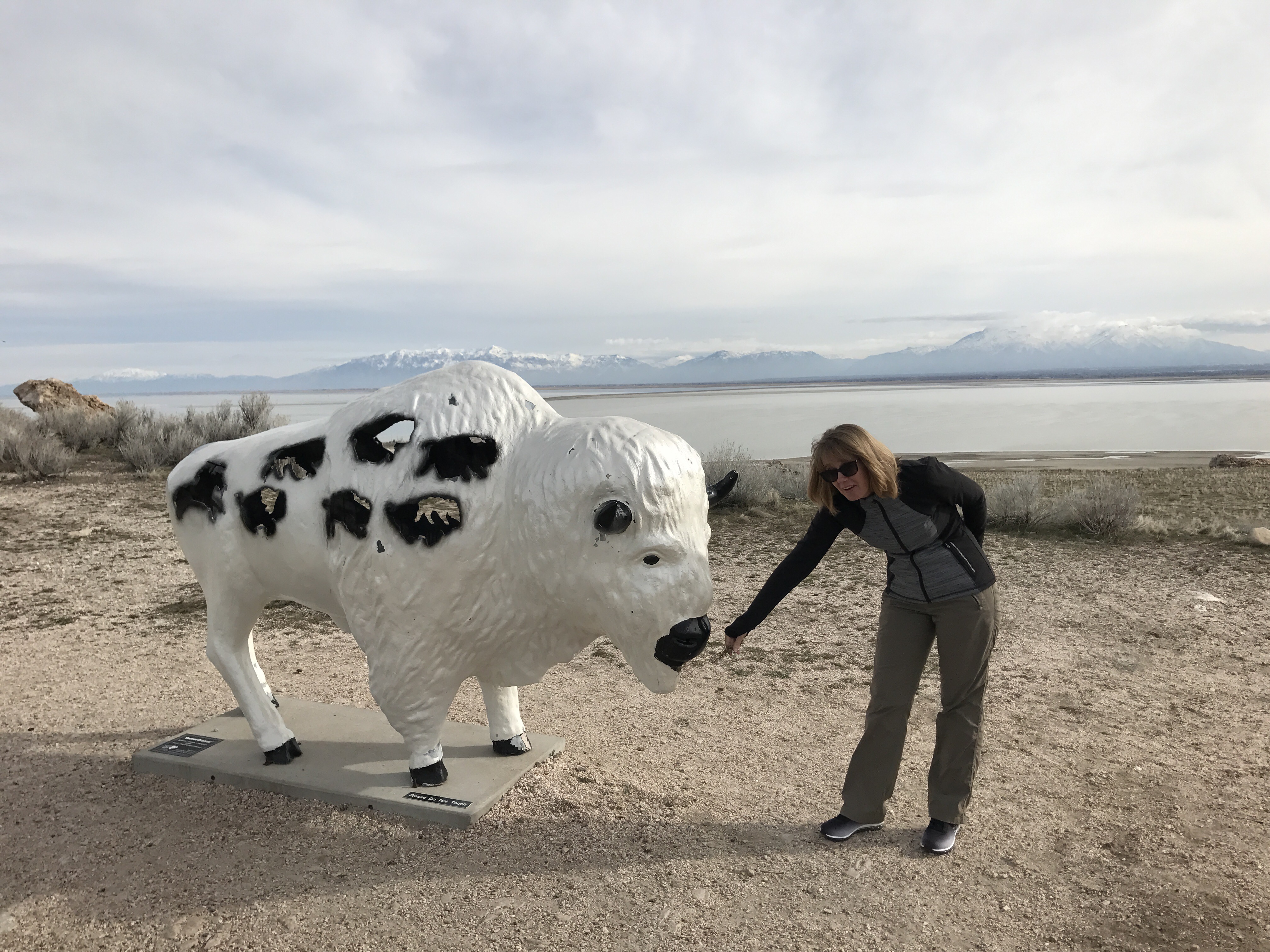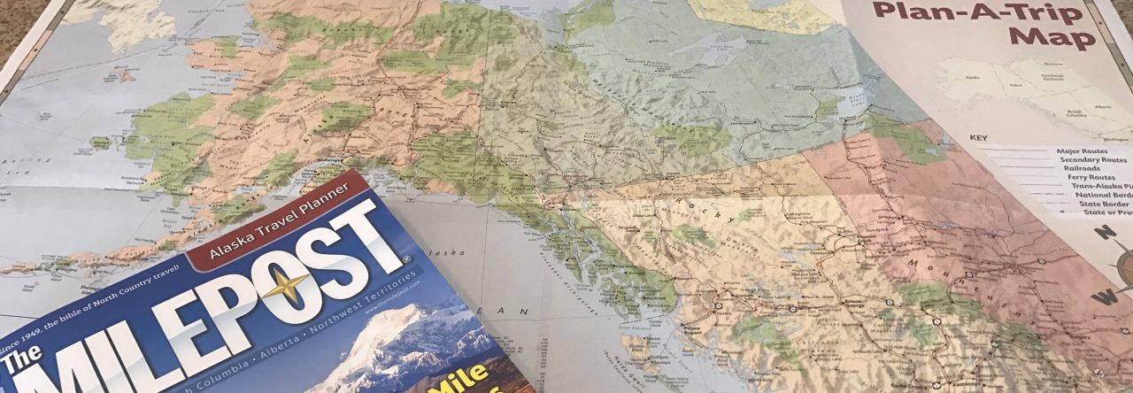
The first thing we needed after our 2 night camping experience was… pizza. Or maybe a shower. But having been thinking about pizza for 3 days since our rather quiet Sunday night in Mormontown, the shower had to wait. Pizza had to be done, and it didn’t disappoint. Pizza addiction quelled, at least for the time being, we headed to the historic mining town of Park City, now skiing mega center and known for its annual hosting of the Sundance film festival.
Made a lovely, dare I say luxury change, to stay at a friends’ condo in Park City (thanks Phil & Paola!). Very nice pad, centrally located with all mod cons, fresh water, and we didn’t even have to get up in the night to put more wood on the fire.
Four nights with friends I’m sure won’t have done our livers any good. But we did at least soak up some of the bevvies with some good food. As we were five ex-Brits a long way from home, I rustled up a couple of curries (one beef and tomato rogan josh styley, plus a veggie roasted cauliflower, potato and spinach aloo gobi stalwart). Went down very nicely at the time but the condo did have a distinctive indian curry smell lingering in the air for the remainder of the trip. Oops, sorry guys!
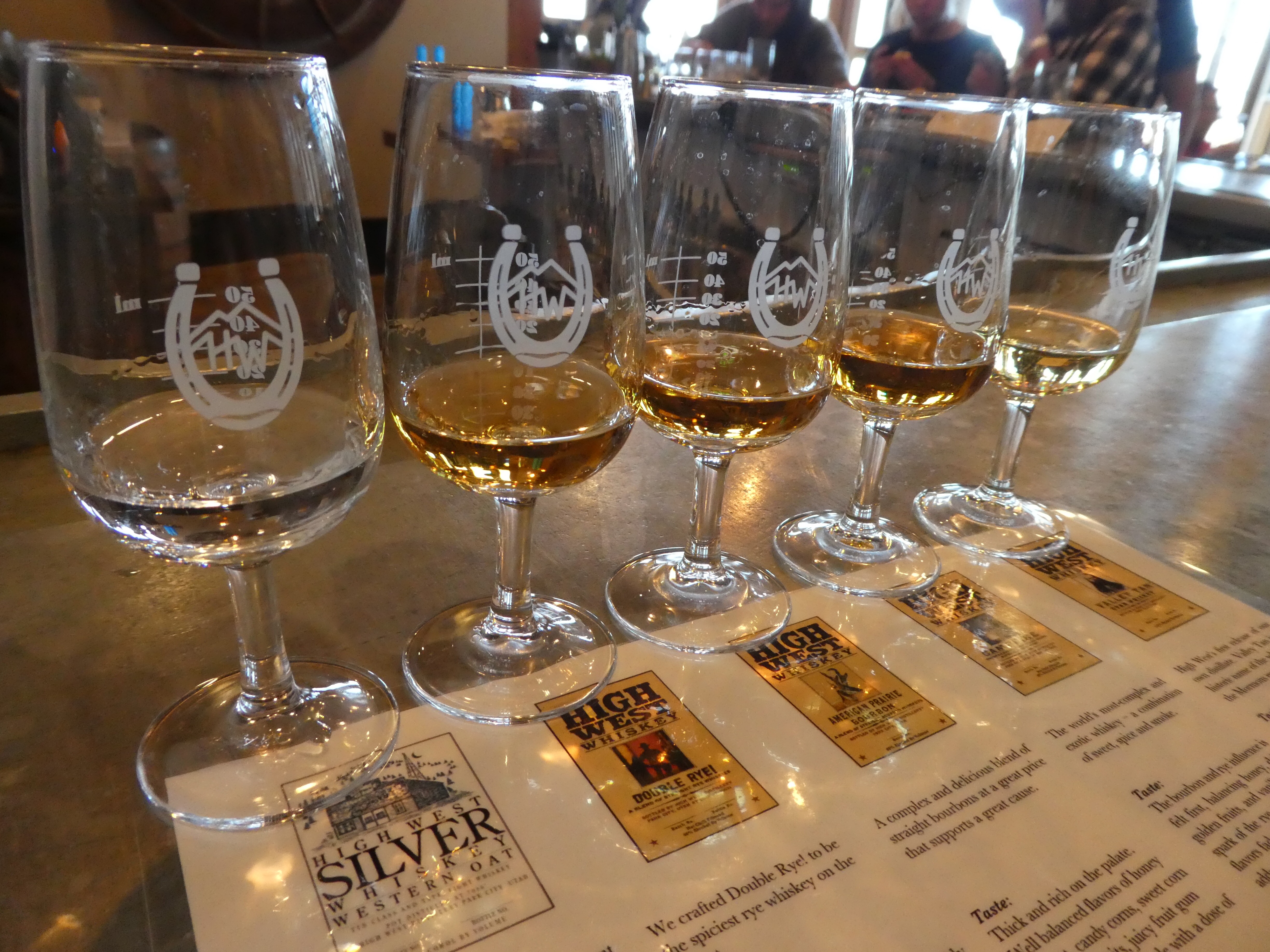
In addition to another delicious home cooked meal, we acquainted ourselves with the local eating and drinking establishments in Park City. A lot of character and a lot of atmosphere. Including the High West Distillery, with its small-batch locally distilled or blended whiskies. The tasting highlight would have to be the world’s only blend of scotch, bourbon and rye whisky which managed to be sweet, spicy and smoky all at once.
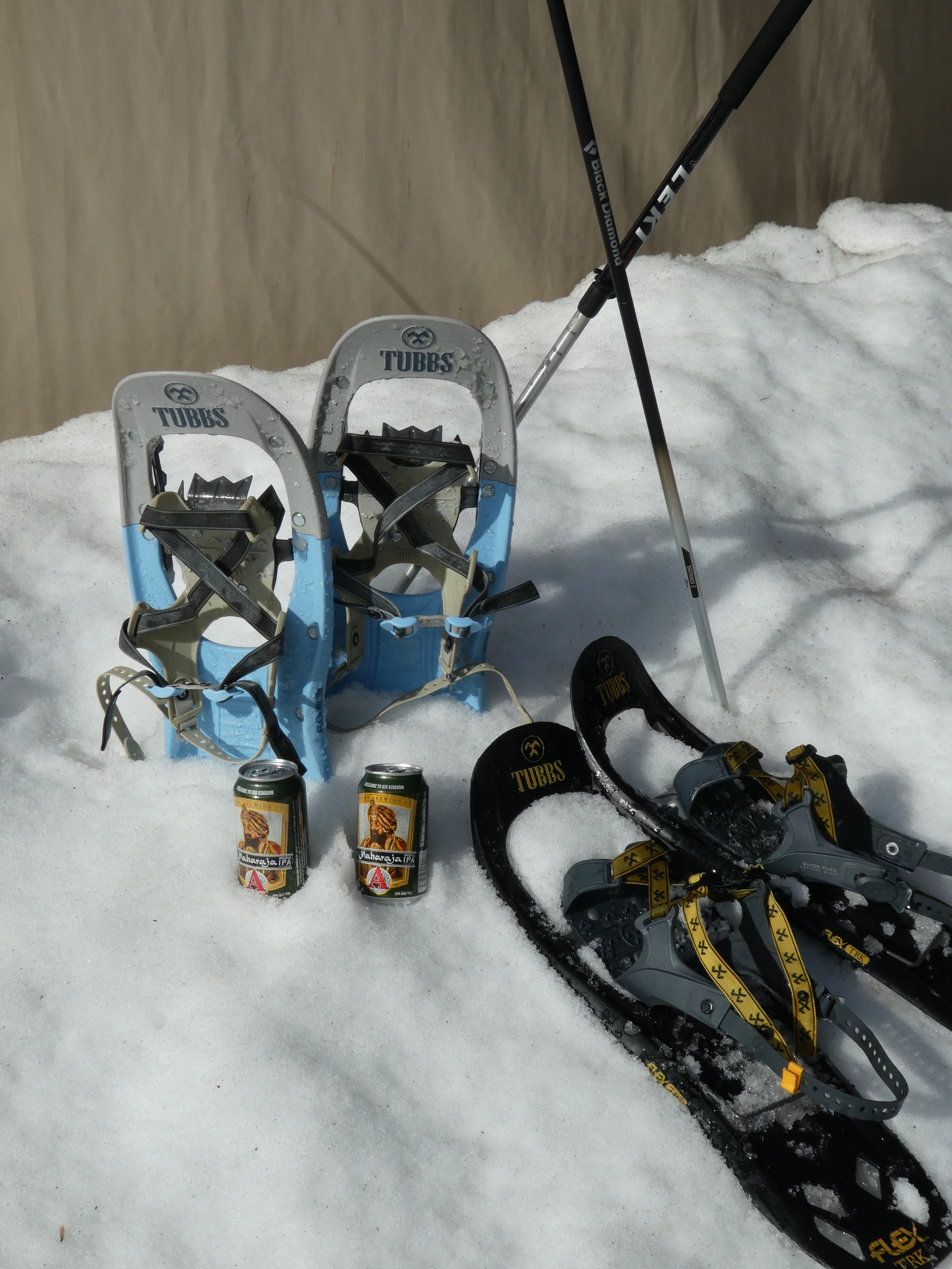
Another must do establishment in Park City is Wasatch brewery. This brewery has a real sense of humor, turning out naughty beer after naughty beer, generally with a nod and a wink to the prevailing Mormon way of life. Their Evolution Amber Ale attributes the progression from ape to man – to beer. The Devastator Double Bock (a whopping 8% ABV) proudly claims: If you’re going to sin, sin big. Apparently it has a serious cult following – imagine that, a cult following in Utah. And the favorite has to be the Polygamy Porter, with its sister-wife the Polygamy Nitro Porter, it’s ok to love them both.