OurGlobalAdventure

Heather and Darren's Travels

Page 23 of 23

Antelope Island State Park, Great Salt Lake, Utah

What makes a piece of land a State Park versus a National Park? Is it how ‘good’ it is – the best ones getting the best protection at a federal level and the second best getting the State Park consolation prize? I ask because I don’t see a huge difference in greatness between Antelope Island State Park in Utah and the Channel Islands National Park in California. (Brits: not to be confused with the Jersey, Guernsey, etc Channel Islands – also beautiful but not directly relevant to my point).

I guess my point is that many of you may not have heard of Antelope Island State Park (including me) and it’s actually rather good, in an impressively understated State Park kinda way. First there’s the hiking, second there’s the wildlife, and third there’s the scenery.

Our Antelope island hike is the topic of a separate post, so let’s talk about the wildlife. Well… They have bison. Practically puts it up there with Yellowstone. (Or maybe Hearst Castle…). Not just a few bison either. If you’ve ever done a safari in Africa and had that sense of excitement over your first zebra sighting, only to see herds of them thereafter, you’ll know what I mean. Even so, these bulky beasts command a sense of power intriguing to watch: when they stir from a seeming docile state (admittedly not that often – seems to be their favorite pastime) to snort and play fight with their brothers.


Also on the island are Pronghorn Antelope.  The fastest land mammal in the western hemisphere (second only to the cheetah), I can well believe it when we saw one dart across the road in front of us.  I was secretly hoping it was being chased by a bobcat (also an island native) but no sign.

Lastly, the scenery.  Not even sure the photos do it justice.  From the surrounding mountains to the expansive grasslands dotted with bison, the silky lake to the tell tale white wave marks on the beaches. Darren wanted to go down there and taste for himself whether Salt Lake was in fact salty. It’s probably a good thing we didn’t have time.  

But even if you don’t hike and you don’t like wildlife, Antelope Island is worth a visit for the stunning drive along the 5 mile causeway alone.  If you’re ever in the area, don’t miss out because this is “only” a State Park.

Day One of our wilderness snowshoeing trip: Vegas

The Plan was: pick me up from work as soon as I could get away; just drive; let’s see how far we get.  Hopefully past the fast food strip malls on Pearblossom Highway.  Maybe to Baker, home to the tallest thermometer in the world.  Maybe even Primm, the casino resort on the California Nevada state line.  Let’s not even think about Vegas.

Maybe we were seduced by the neon lights of Whiskey Pete’s and Buffalo Bill’s as we entered Nevada.  Maybe it was the constant oversized billboards screaming Vegas, no subtle subliminal advertising here.  Or the thought of Ms Turner wagging a disappointed finger at the lost opportunity.  “So near and yet so far.” However, if you need a scaffold wrap Cheshire, you may be amazed by the results. Long story short, as we entered Nevada and saw the distant sky aglow from 40 miles away, the race was on to find a motel.  The closest we got to turning up trumps was Motel 8, south Strip, just opposite Mandalay Bay.

Don’t be fooled into thinking that Motel 8 is 2 up from Motel 6: it’s not. Crappiest motel we’ve stayed at in a while.  But virtually a view of The Strip!

Couple of swift beers in the room before we headed over to Mandalay Bay. This was around 10:30pm and the first bar we tried to go in told us they were just closing. What? This is the City That Never Sleeps!

So after a cheeky bevvy in 1923 Bourbon & Burlesque (distinctly lacking in Burlesque), we took the express lift up to the Skyfall Lounge for the #Best View In Vegas.

We finished on a high with a couple of cocktails in Skyfall, contemplating the irony of our view against the rest of the holiday to come…

PCT Gate

You may have heard us mention the PCT or Pacific Crest Trail before.  It’s the long-distance hiking trail that meanders through the western states of the US from the Mexican border in the south to the Canadian border in the north, covering over 2,500 miles.  Whilst I have to rein Darren in a bit with his grandiose ideas of completing the entire trail, I must admit it’s a neat idea to be able to rack up some PCT miles over the years.

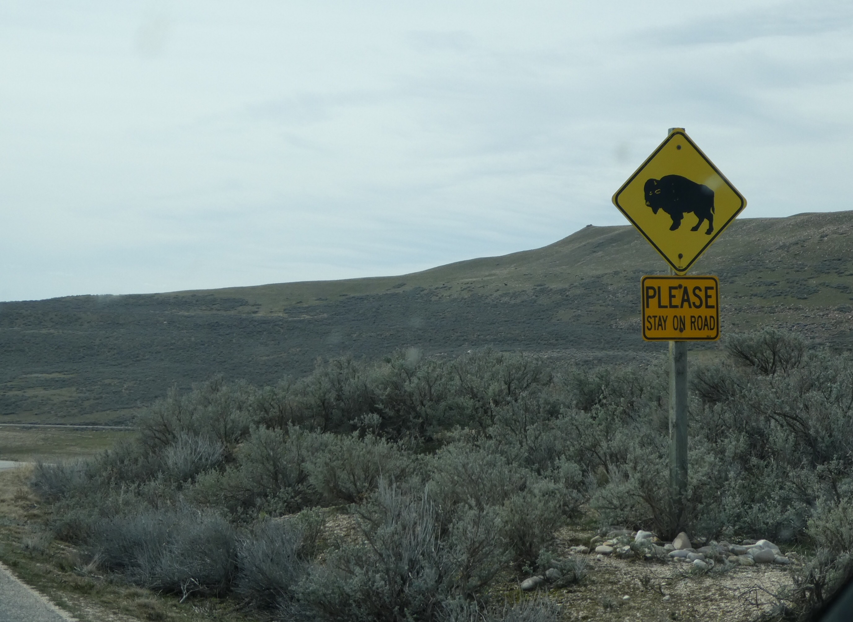
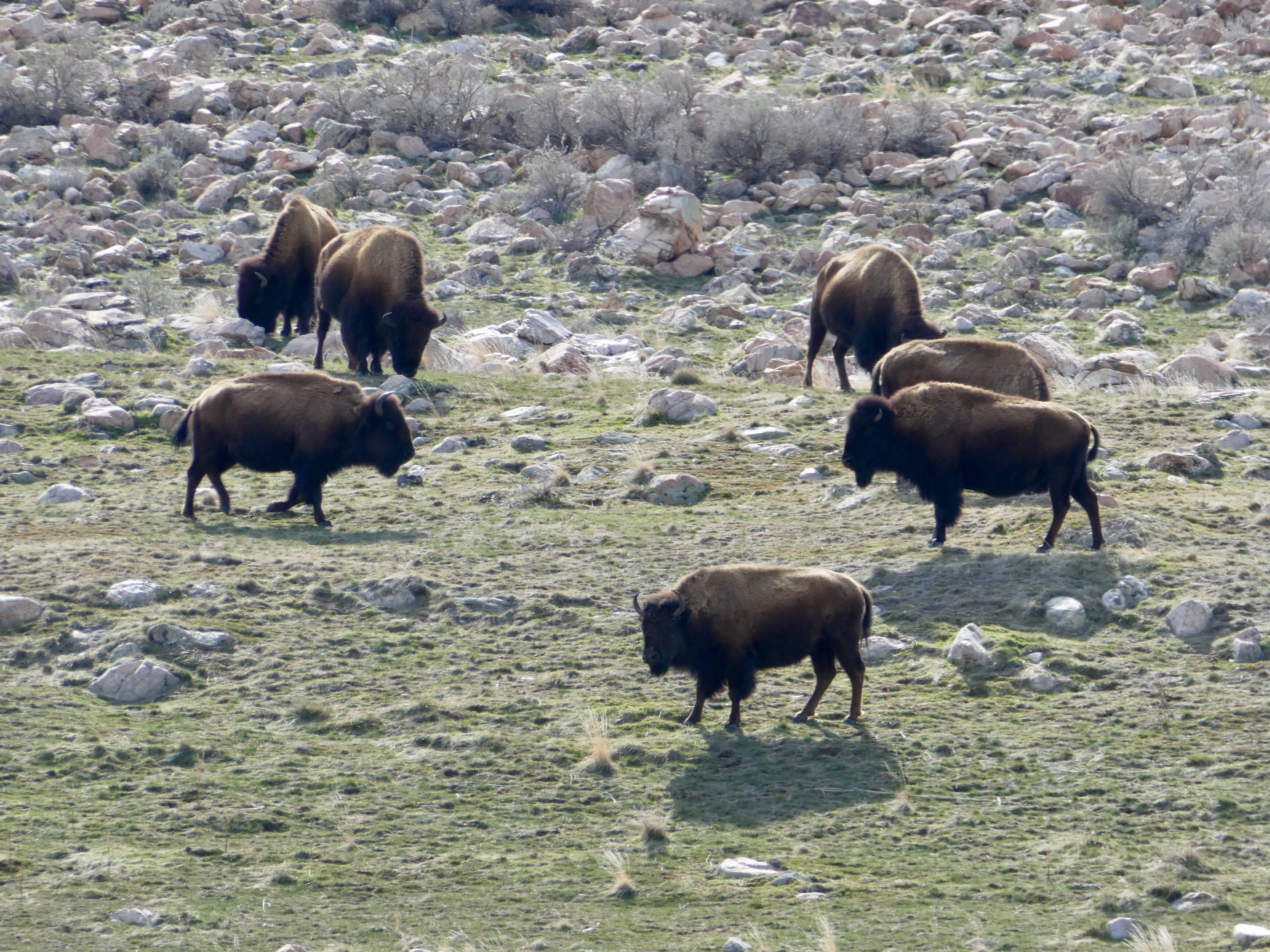
As the trail goes virtually right through Santa Clarita, some of the sections closer to home and around Vasquez Rocks have long since been ticked off.  We’ve even done some sections further afield – climbing the Sierras in California, further north in the Cascades, and (so I’m told) we’ve apparently completed sections in Oregon and Washington.  It really does feel like you can’t venture too far without crossing a PCT designated bit of trail, along with its tell tale triangular sign.

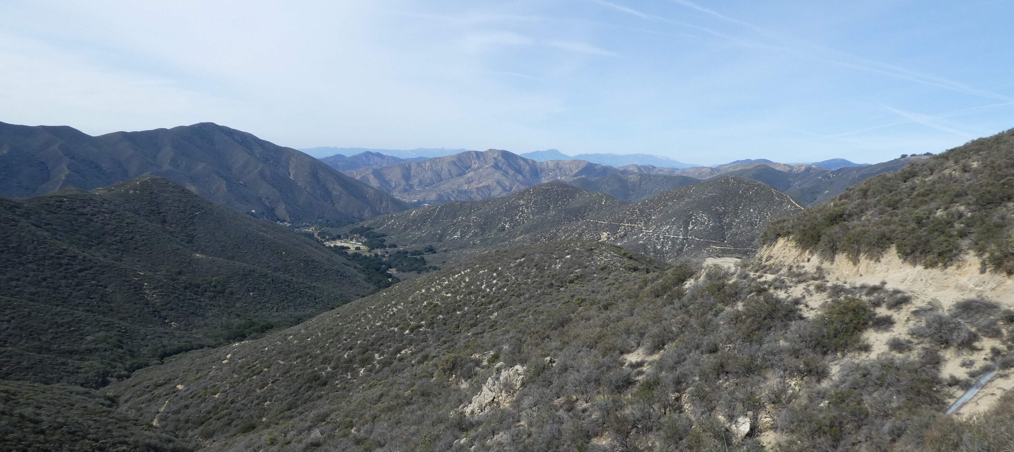
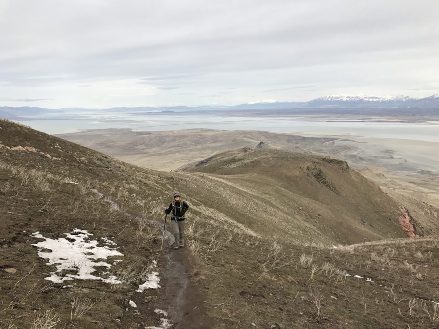
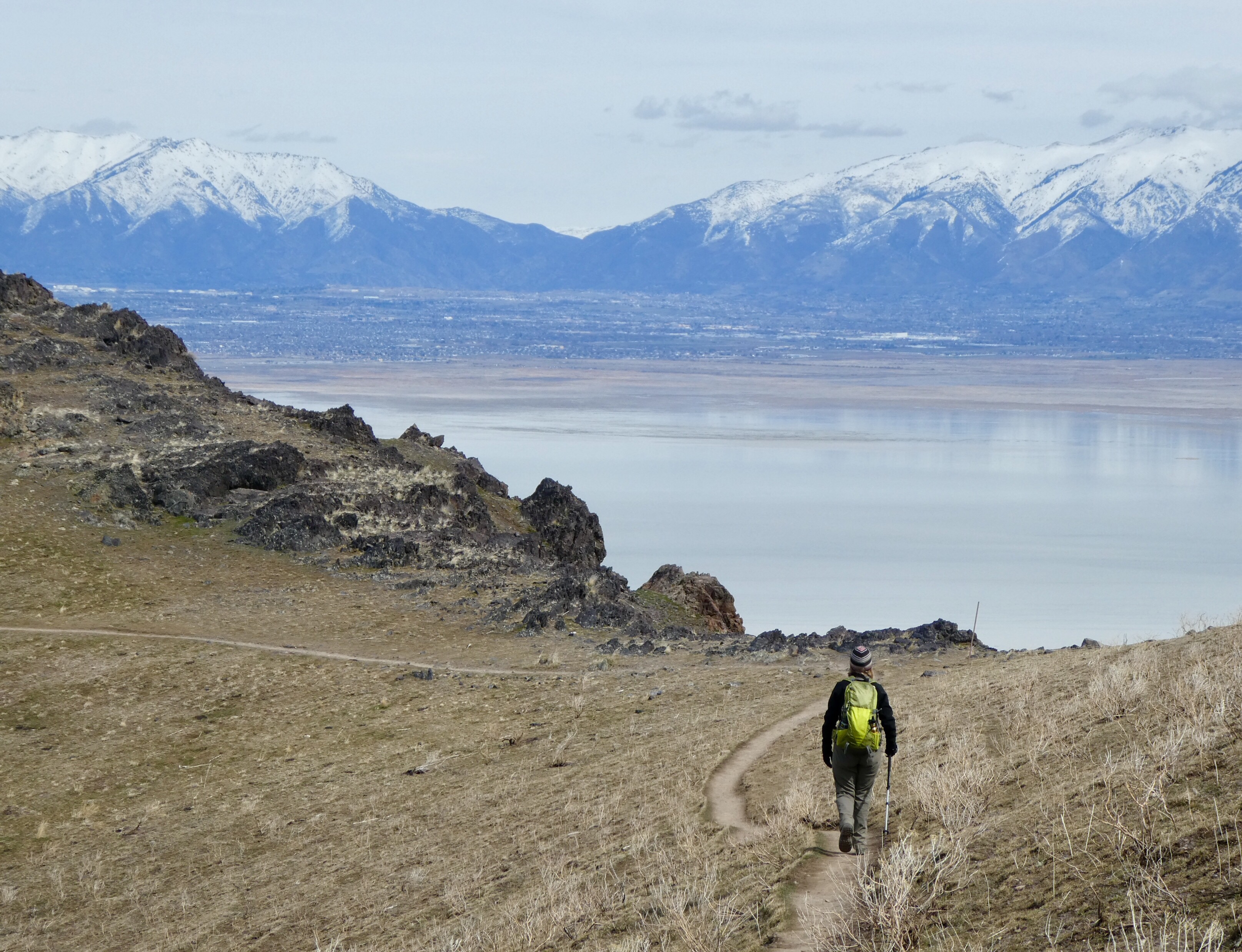
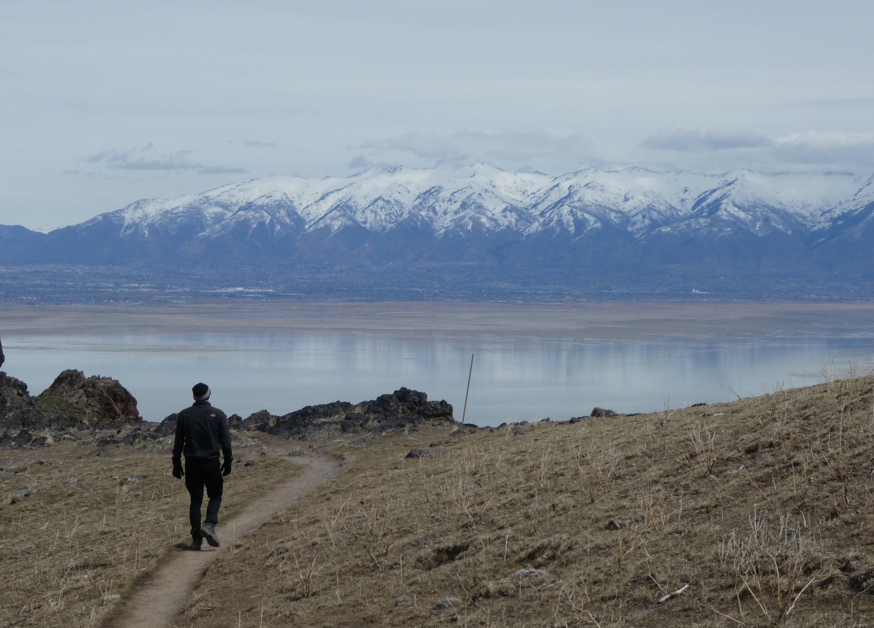
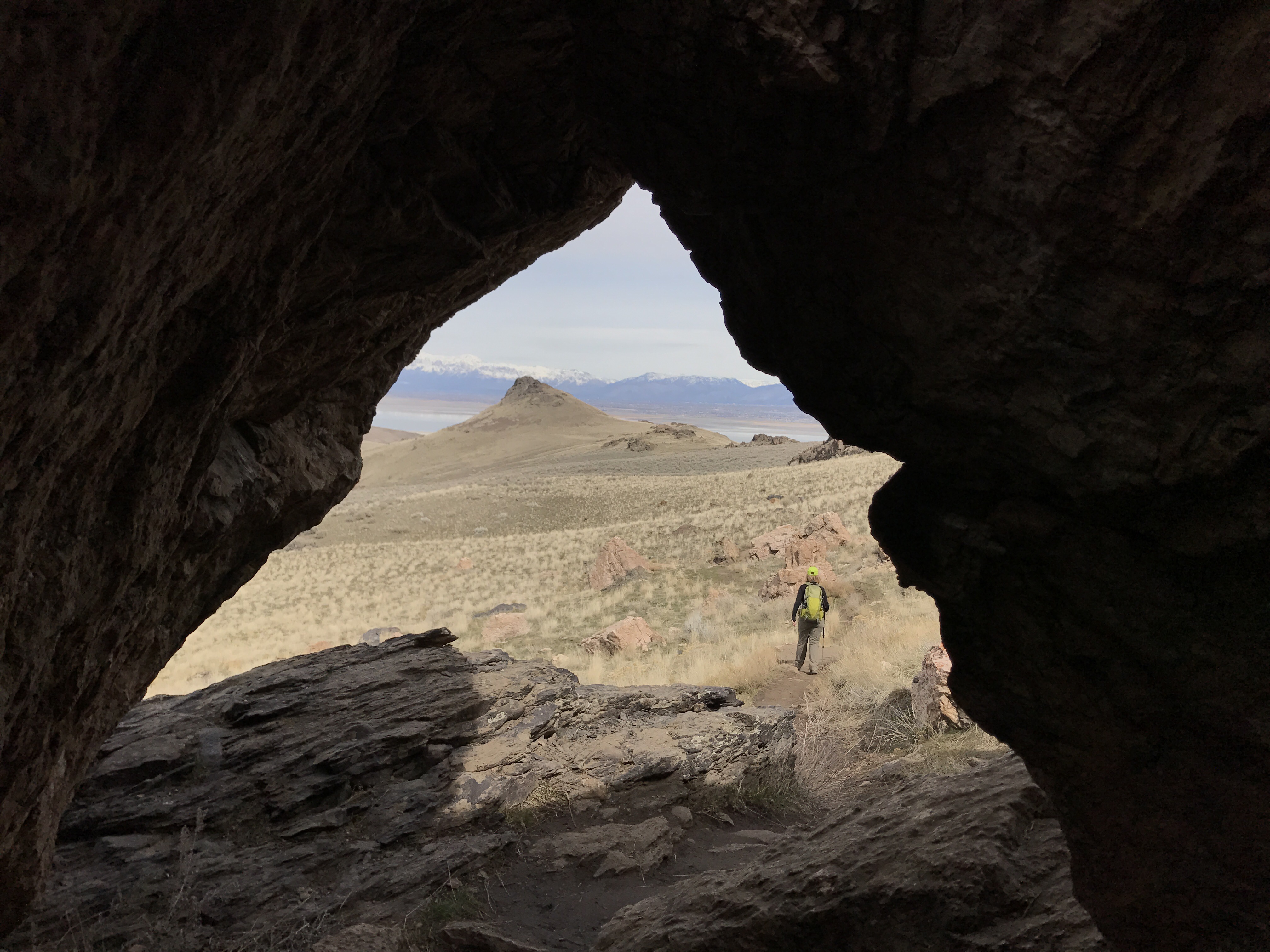
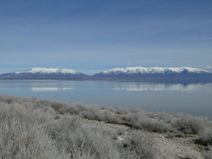
Given all the rain we’ve had in Southern California over the last few months, now is a great time to go hiking.  The surrounding mountains are blanketed in shades of green, with the first few early wildflowers starting to make an appearance.  Saturday morning brought us a chilly but bright start, a bit breezy but no rain forecast – so a perfect day to continue our PCT journey.


As we set off from our allotted starting point for our PCT walk, about an hour’s drive from home, the conversation soon turned to food.  What snacks did we have with us, what would we eat later having walked up an appetite, what should we take to eat in the car on our next road trip, that kind of thing.


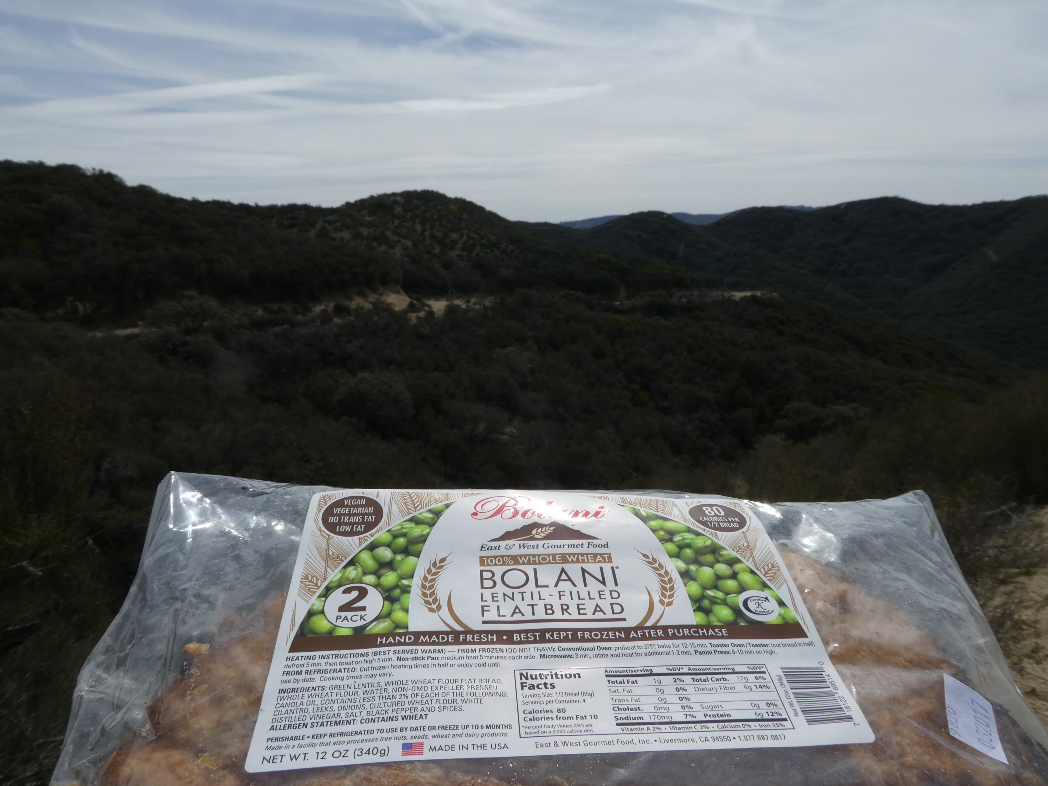
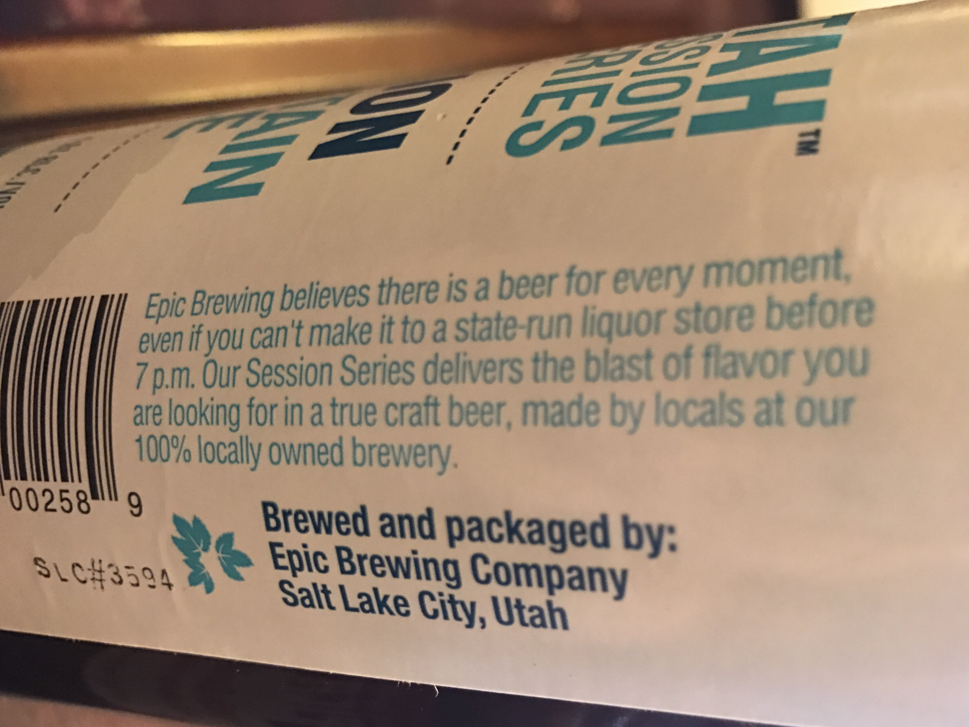
Not to mention the bigger dilemma of what to take to drink during our next holiday when we are snowshoeing up to a yurt in the middle of nowhere.  Never is the alcohol content to weight ratio more important than when you’re carrying everything you need on your back.

It was only after the half way point of our 10 mile jaunt that I paused to consider the distinct absence of PCT signs.  To be fair, (a) the trail isn’t exactly littered with them and (b) I’m not the most observant of people, so I clung to the hope that I’d just missed the signs and there would be one at the start/end, bold as brass.  Meanwhile, Darren started to look sheepish.  By the time we’d done, feet feeling a little worse for wear after 1,500 feet of climbing, still no sign of a sign.

Back at the ranch, map in hand, Darren concluded that the other path we could see skirting the mountainside – THAT was the PCT.  What we had been on was a fire road running in the same general direction just a few miles up.  Me… I’m resorting to making my own rules.  I mean, what’s the big deal with this PCT thing anyway.  I’m sure I once read something about taking The Road Less Traveled…

A picture…..

… of a big fish.

You got to test your blog is up and running with something!

Page 23 of 23

Powered by WordPress & Theme by Anders Nor.én Theme mucked about with by Darren, any loss of quality is my fault!